6/1/12
Some patches of blue greeted us this morning so we
decided to hit the trail…The Cabot Trail. It’s really a road that
circumnavigates the big part of Cape Breton Island. It was established by John
Cabot whose real name is Giovanni Caboto but sounds better Anglicized I guess.
The purpose was to establish a connection between rural communities that were
previously basically cut off except for rural roads. I mean RURAL. It’s 300 KM
and took us nine hours including stops for lunch and dinner. Dusty rode along
and slept most of the way. When we came out from dinner we caught him in the
back seat with his nose in the cookie bag (his cookies). I guess he was hungry.
The Trail winds up steep mountains, and then down again. Some of the grades
were 12% or higher. At the top we were in the clouds, so thick visibility was
about 10 yards or meters as they say here. We were able to see down to the
coast since the clouds were high. Looked for whales and eagles, but saw none.
Our host here at the campground, Wolf, tells us we can see one if we walk a few
meters down to the lake and sit and watch for a while. The drive was beautiful,
but long. Many of the small towns have shops which sell works of the “artisans”
of Cape Breton. I guess that’s what they do in the winter. Many of the shops
were not open yet. Their season is basically mid-June through August.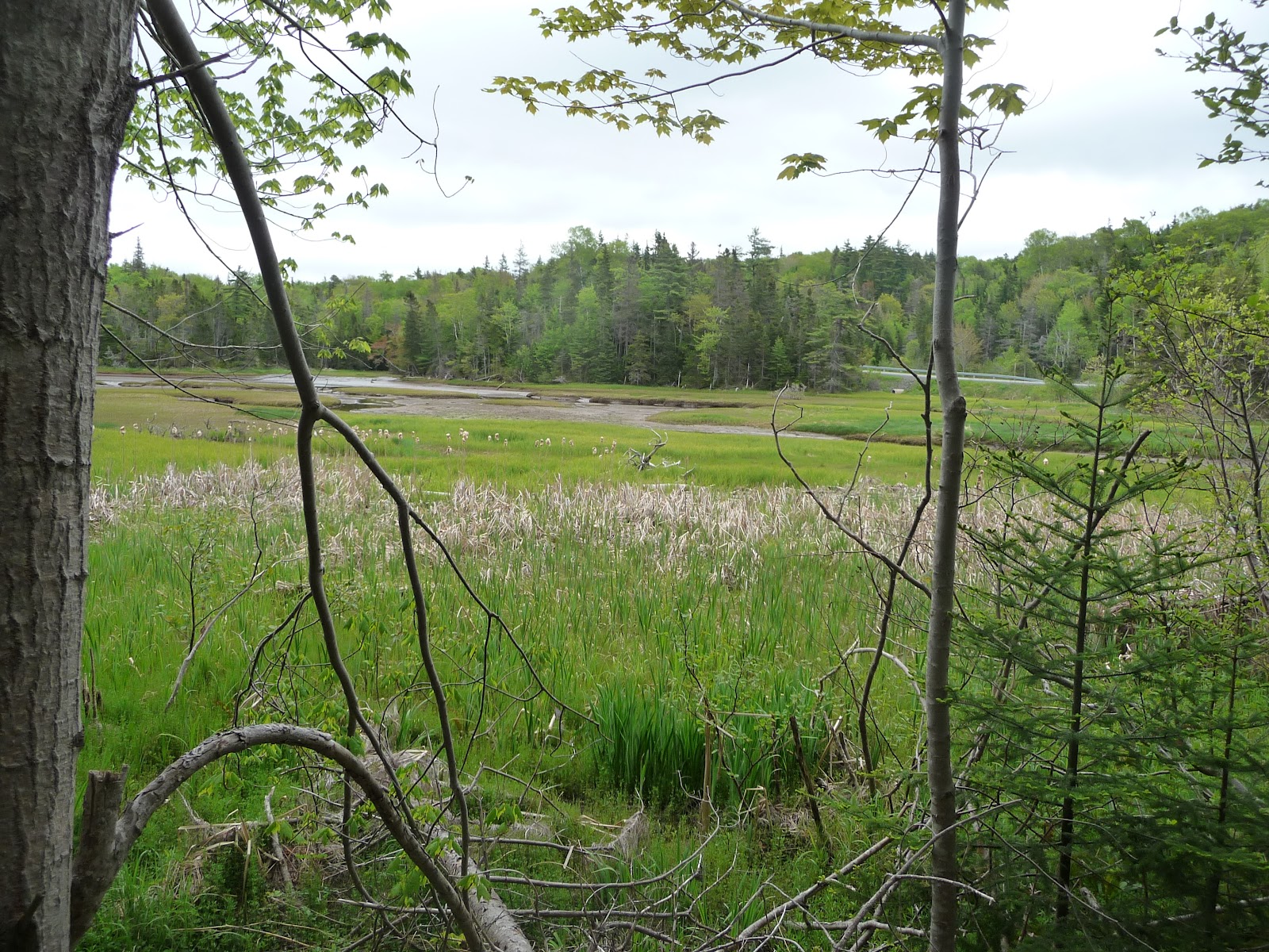
Marsh near St. Annes

Green Cove looking north

Green Cove. Waves from the Atlantic can wash over this point. Rob thought he'd risk it anyway.

Aspy Fault looking towards the Atlantic. It's speculated that this fault extends all the way to Scotland. Lots of glacial action in the valley. At this point we are up in the clouds.
No comments:
Post a Comment